govt
The lightweight RISER drone uses lasers to self-navigate deep inside hazardous facilities where GPS signals cannot reach, and has already been used successfully at Sellafield.
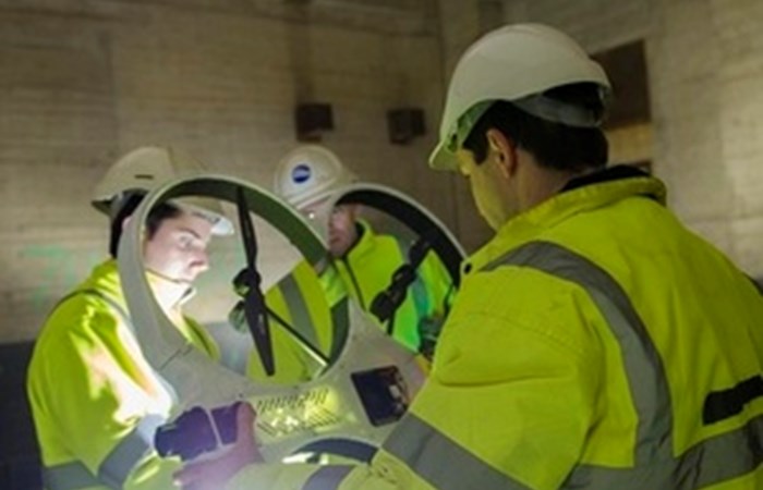
RISER carries a sophisticated radiation detection and mapping system which has been collecting vital information about conditions in the remaining Windscale Pile chimney. More than 60 years after the 1957 fire, the chimney remains highly contaminated.
Using remotely operated equipment is the only way to establish how the chimney can be cleaned out and finally dismantled.
RISER - Remote Intelligence Survey Equipment for Radiation - combines two separate pieces of cutting-edge technology: drones and radiation-mapping software. Each received Research and Development funding through the NDA and fellow government agency, Innovate UK.
In 2009, Createcs N-VisageTM radiation mapping software project was boosted during its critical early stages by a 50,000 investment from the NDAs R&D portfolio.
Three years later, the NDA joined other government organisations to invest further funds in a wide range of innovative nuclear projects. This led to the collaboration between Cockermouth-based Createc and aerial systems specialist Blue Bear, from Bedford. After a series of on-site trials at Sellafield, RISER was put into decommissioning action.

The NDAs Head of Technology, Prof Melanie Brownridge, said:
We are thrilled to see RISER put to work in Japan, and delighted that our early-stage support for the N-Visage system enabled Createc to develop its potential further.
The subsequent collaboration with Blue Bear, again funded by the NDA through an initiative with Innovate UK, led to RISER. This shows the importance of funding innovative ideas through their journey from the drawing board to the market not just for the NDAs decommissioning mission but for the wider UK and overseas economy.
The N-VisageTM tailor-made technology maps radiation with pinpoint accuracy, producing a high-definition 3D picture of contamination, quickly and safely. Developed and exhaustively tested over a number of years, it was first used inside one of the reactor buildings at Japans Fukushima-Daiichi plant several years ago, and is now set to return, mounted on the drone. The system can be deployed though small openings, in tight spaces and high-dose environments. Dose to operators is reduced as the technology is remotely deployed.
The drone, or unmanned aerial vehicle (UAV), is less than one metre in diameter and navigates using its own internal collision avoidance capability. Able to manoeuvre accurately inside complex industrial spaces, data is transmitted to the mapping system and clearly