A major milestone in the preservation of Great Britain’s industrial heritage has been reached with the launch of a free online tool giving the public access to thousands of historical coal mining plans.
This digitised collection brings together detailed maps and plans from former collieries across England, Scotland and Wales, offering an extraordinary view into the history of local landscapes, mining operations, and the lives of the communities who worked within them.
You can now search, view, and explore these original mining records from any device, from wherever you are.
Historical mine plan viewer - explainer video
Geraldine Wildman, Digital and Information Director, at the Mining Remediation Authority, said:
This resource opens a door to the past, providing a valuable historical record of mining activity?across Great Britain.
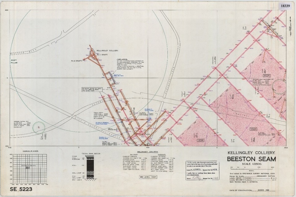
The archive includes around 120,000 coal mine plans, some dating back to the 17th century. Despite their age, these plans remain a critical source of intelligence on underground conditions, including the extent and connectivity of coal mine workings.
For communities built on coal mining, these plans represent family history, shared memory, and a deep-rooted connection to their local area. Making them available ensures that this heritage is preserved and celebrated.
For many coalfield communities, the online tool represents the first opportunity for people, including the families of miners, to understand how earlier generations shaped the places they live today.
To make the coal mine plans publicly?available online, the Mining Remediation Authority worked in partnership with the British Geological Survey. Through this shared service, users can search for both coal and non-coal mine plans held by either organisation and view high-quality scans directly in their web browser.?
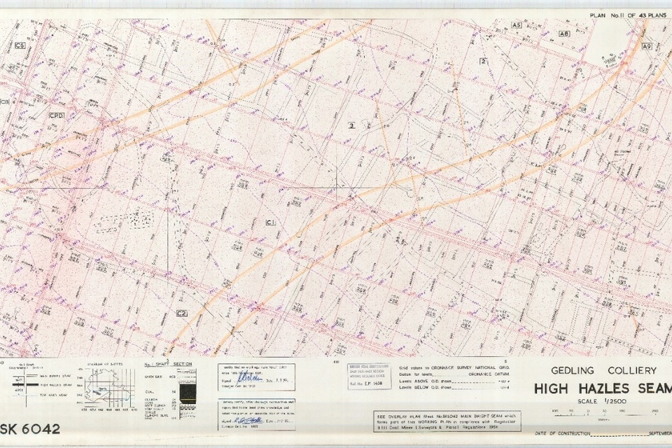
An image of a mine plan from Gedling Colliery.
Alison Steven, NGDC Data Operations and Governance Lead at the British Geological Survey, said:
The launch of the new Mine Plans Catalogue is a part of wider initiative at BGS to make legacy geological data more accessible. Working alongside the Mining Remediation Authority we have brought these plans together into a single Mine Plans Catalogue. This means users can now discover records held by both organisations in one place, making it easier than ever to explore the ground beneath our feet.
Not only will this help communities reconnect with the stories that shaped their local heritage, but wider access to these plans also supports society’s evolving interests in how the subsurface is used, from the rising demand for geothermal energy installations to the need for robust subsurface data that underpins responsible land use planning decisions.
The coal mine plans are also available through?the?Mining Remediation Authority’s?online map viewer, alongside a wider range of data relating to the nature and extent of mining across Great Britain. This includes?specific?information to support?safe?planning and development on the coalfield, data on the potential for mine water heat, and records of historical metal mining in England.
To explore local mining plans, users can search the Interactive Map Viewer or access individual records via the Mine Plans Catalogue.
For media enquiries contact the community response team
Email communityresponse@miningremediation.gov.uk
Telephone 0800 288 4211
For emergency media enquiries (out of hours) call: 0800 288 4242.
Only urgent media calls will be attended to.