UK Space Agency
The UK Space Agencys International Partnership Programme (IPP), is a five-year, 152 million programme designed to partner UK space expertise with governments and organisations in emerging and developing economies around the world to deliver a sustainable, economic or societal benefit. Satellite data will be used to tackle problems such as flooding, drought, and deforestation.
The 21 chosen projects help provide solutions for local issues in countries across Africa, Asia and Central and South America. They include providing communications in remote areas for education and health provision, improving maritime safety for small fishing vessels in South Africa and Madagascar and reducing illegal logging in Guatemala.
The IPP focuses on using the UK Space sectors research and innovation strengths to deliver practical and measurable effects to end-users in developing countries. As GCRF forms part of the UKs Official Development Assistance (ODA) ring-fenced budget, the new IPP programme is fully ODA compliant.
Funded from the Department for Business, Energy and Industrial Strategys Global Challenges Research Fund (GCRF), the IPP forms part of the UKs Official Development Assistance (ODA) ring-fenced budget. They projects underwent a rigorous selection process to ensure that they met strict requirements for ODA and UN sustainability goals. The UK Space Agency part funds IPP projects with a proportion of the cost shared by the programme applicants to ensure cost effectiveness and value for money.
View the whole list of IPP funded case studies.
The IPP will make a second call for applications later this year, with an opportunity for new projects to secure funding.
Case study: Ecometrica, Edinburgh
Forests2020
Grant: 14.3 millionTarget country: Indonesia, Brazil, Mexico, Colombia, Ghana and Kenya
This project addresses critical gaps in current forest monitoring systems by providing a sustained and effective forest monitoring system capable of measuring forest change and providing information on the risks and drivers of forest loss. The project focusses on Indonesia, Brazil, Mexico, Colombia, Ghana and Kenya. It will use publically available Earth Observation optical data and commercial LIDAR/radar products as well as set up in-country capacity building EO monitoring stations.
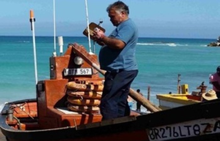
Case study: exactEarth Europe Ltd (eEE) Harwell, Oxfordhsire
sOuth Africa Safety Initiative for Small vessels Operational Take-Up (OASIS-TU)
Grant: 1.1 millionTarget country: South Africa, MadagascarFollowing on from their IPSP project, this project will install 1,500 transponders across the most at-risk artisanal fishing boats in South Africa. exactEarth will use their constellation of Automatic Identification System monitoring satellites to track these boats in partnership with the South African Maritime Safety Authority; and this will ensure a more effective rescue approach for the small boats and reduce the current high loss of life in this sector.