UK Space Agency
The ability of UK citizens, policymakers and service providers to access a wide range of important environmental data on a routine basis will take a major step forward following the launch this morning (23 June 2015) of Sentinel-2A.
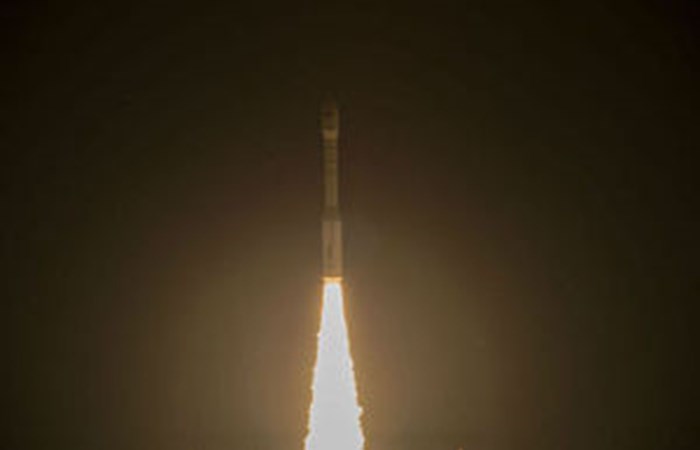
The 1.1 tonne satellite was carried on a Vega rocket from Europes Spaceport in Kourou, French Guiana at 01:52 GMT.
The European Space Agencys Sentinels, a new fleet of Earth observation satellites, are poised to deliver a wealth of data and imagery that are central to the EUs Copernicus programme.
UK involvement in Copernicus is through the Department for Environment, Food and Rural Affairs (Defra), whilst the UK Space Agency provides UK investment in the Sentinel satellites.
By offering a set of information services for a broad range of applications, the Copernicus global monitoring programme is a step change in the way we manage our environment, understand and tackle the effects of climate change, and safeguard everyday lives.
Apart from the government and academic uses, first time business users will have access to a wide array of up to date and accurate satellite data and imagery for free. It is hoped that the free and open data policy will drive a vastly increased uptake in the use of space generated data.
Ensuring the UK is ready to fully exploit the Sentinels operational data, the UK Space Agency and the Satellite Applications Catapult are jointly funding a world-class data facility that will be hosted in the UK and will provide full access to Earth observation data from Copernicus.
By supplying colour vision for Copernicus, Sentinel-2A is a perfect complement to the all-weather, day-and-night radar imagery provided by the first in the Sentinel fleet, Sentinel-1A, launched on 3 April 2014.
As a future constellation of two satellites (Sentinel-2A and -2B), the Sentinel-2 mission will be able to monitor all land surfaces, large islands, and inland and coastal waters every 5 days, optimising global coverage and data delivery for numerous applications. Sentinel-2A is the first optical imaging satellite in the Copernicus programme and carries an innovative high-resolution multispectral camera with 13 spectral bands for a new perspective of our land and vegetation. The combination of high resolution, novel spectral capabilities, a field of vision covering 290 km and frequent revisit times will provide unprecedented views of Earth.
Among its applications, the mission will provide information for agricultural practices, helping in the management of food security. It will also be used to map the status and changes in land cover and to monitor the worlds forests.
It will furthermore provide information on pollution in lakes and coastal waters. Images of floods, volcanic eruptions and landslides will contribute to disaster mapping and help humanitarian relief efforts.
Dr David Parker, Chief Executive of the UK Space Agency, said:
The launch of Sentinel-2A brings us another step closer to a new era in Earth observation. The unique constellation of Sentinel satellites >are set to live up to their name by watching over our planet and providing us with the vital data we need to solve the climate and >environmental problems facing mankind.
Sentinels are crucial investments to deliver a wide spectrum of operational data over a period of 20 years to benefit European citizens. In the year Sentinel-1A has been in service, more than 7000 users have registered to access some 145, 000 different online data products, and over a million downloads the equivalent of some 1.3 terabytes of data - have been recorded.