Cabinet Office
The Geospatial Commission has launched a series of projects to explore key land use pressures, such as energy, housing and decarbonisation, and how innovative data analysis can support better decisions about land use change.
Through the National Land Data Programme, the Geospatial Commission is convening regional pilots, national roundtables and expert workshops to bring together stakeholders across local and national government, academia and industry.
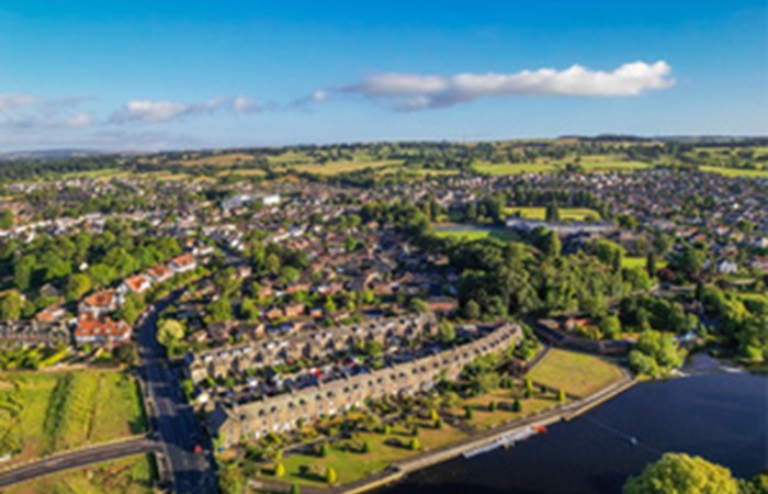
Land is a finite resource
Land faces increasing demands from a wide range of economic and environmental objectives, including housing, transport, energy, food production, flood protection, water security and decarbonisation. The scale of land use change required to meet these demands is significant. Taking just one element, it is estimated by the Climate Change Committee that 9% of UK agricultural land will need to be released for actions to reduce emissions and sequester carbon by 2035 - an area the size of Wales.
To ensure the UK can meet challenging net zero and biodiversity targets while also delivering infrastructure and economic growth, measures to manage tradeoffs and increase the sustainable productivity of land are required. Recognising this, the government has announced that a land use framework for England will be published in 2023.
National Land Data Programme
Recent advances in spatial data science and the availability of new forms of data offer huge potential to underpin spatially targeted land use strategies. By combining data about current land use and constraints with satellite observations and remote sensing technology, it is possible to identify multifunctional land management opportunities, or model the future impact of different land use choices.
The Geospatial Commissions National Land Data Programme will demonstrate how spatial data can inform land use scenario planning. Through regional pilots and in dialogue with land use stakeholders, the programme will explore selected use cases and develop a blueprint of capability improvements to support land use decision making.
Land Use Dialogues
At a national level, the Land Use Dialogues, a series of focussed roundtables and technical workshops, will bring together land use decision makers with modelling practitioners from government, academia and industry around core policy challenges.
The events will aim to explore how better use of spatial data and modelling tools could support strategic, joined-up decisions about some of the UKs most pressing land use challenges.
The policy priorities and issues surfaced at each roundtable will feed into a workshop
involving experts from academia and industry, analysts and officials. This will focus on the data and modelling tools that could help support decisions on how best to balance the land required for the UKs policy priorities.
The first roundtable, held on 1 November 2022, discussed options for the UKs long term energy security. Subsequent roundtables will look at other issues such as housing, infrastructure and the environment.
Regional pilots
We are working with regional partners to develop an understanding of how spatial data can inform local and regional land use strategy.
In Devon and Cambridgeshire, we are working with the Food, Farming and Countryside Commission and the British Geological Survey to support the design and development of a local land use framework. We are investing in the design and prototyping of a spatial modelling decision support tool to help articulate the impacts of different land use change scenarios to local stakeholders. By improving how spatial data can be made accessible and visualised, local decision makers can more confidently appraise their land use choices.
In Northern Ireland, we are working with Ordnance Survey Northern Ireland to produce an authoritative land cover and land use map of Derry and Strabane District Council, which uses earth observation data to infill classification gaps. By improving our understanding of existing land use, we can make more informed decisions on how to better optimise land.
You can find out more information on the land use dialogues website or please get in touch with us via